注重体验与质量的电子书资源下载网站
分类于: 人工智能 职场办公
简介

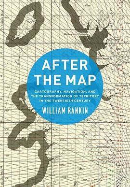
After the Map: Cartography, Navigation, and the Transformation of Territory in the Twentieth Century 豆 0.0分
资源最后更新于 2020-10-23 14:37:09
作者:William Rankin
出版社:University Of Chicago Press
出版日期:2016-01
ISBN:9780226339368
文件格式: pdf
标签: 制图 美国 技术批判 媒介史 地理 地图 领土 边界
简介· · · · · ·
For most of the twentieth century, maps were indispensable. They were how governments understood, managed, and defended their territory, and during the two world wars they were produced by the hundreds of millions. Cartographers and journalists predicted the dawning of a “map-minded age,” where increasingly state-of-the-art maps would become everyday tools. By the century’s end...
目录
Possibly Ambiguous Terms
IntroductionTerritory and the Mapping Sciences
Part IThe International Map of the World and the Logic of Representation
Chapter 1The Authority of Representation
A Single Map for All Countries, 1891–1939
Chapter 2Maps as Tools
Globalism, Regionalism, and the Erosion of Universal Cartography, 1940–1965
Part II: Cartographic Grids and New Territories of Calculation
Chapter 3Aiming Guns, Recording Land, and Stitching Map to Territory
The Invention of Cartographic Grid Systems, 1914–1939
Chapter 4Territoriality without Borders
Global Grids and the Universal Transverse Mercator, 1940–1965
Part III: Electronic Navigation and Territorial Pointillism
Chapter 5Inhabiting the Grid
Radionavigation and Electronic Coordinates, 1920–1965
Chapter 6The Politics of Global Coverage
The Navy, NASA, and GPS, 1960–2010
ConclusionThe Politics in My Pocket
Acknowledgments
Acronyms and Codenames
Notes
Index


